Carlow’s geology catches people off guard. Limestone bedrock sits under just a few metres of glacial till and alluvium along the Barrow. That sounds simple, but it creates real problems once you open a cut deeper than 3 metres. The till here is stiff when dry and turns soft within hours of hitting groundwater lenses. We’ve seen it shift without warning on sites near the river. Our monitoring programme starts before the first bucket goes in and runs until backfill is complete. We combine inclinometers, settlement markers and vibrating wire piezometers to track three things at once: wall movement, surface settlement and pore pressure. For deeper shafts we integrate CPT testing to calibrate the soil profile and slope stability analysis when the cut runs close to existing structures.
In Carlow’s glacial till, 14 mm of settlement can appear in 48 hours when a sand lens drains into the excavation. Monitoring turns that into a number you see coming.
Methodology applied in Carlow
Local geotechnical conditions in Carlow
The glacial till across Carlow town contains frequent sand lenses that act as perched aquifers. When an excavation taps one of these lenses, water enters the face and fine material starts migrating, leading to internal erosion and sudden loss of support. A 2022 basement dig on the Tullow Road recorded 14 mm of settlement at the neighbouring wall within 48 hours of hitting a saturated lens. That’s enough to open cracks in masonry. If the excavation stays open through winter, freeze-thaw cycles in the upper till add another variable. The Barrow’s floodplain extends into the eastern side of town, where groundwater sits barely 1.5 m below ground level in February. Without real-time piezometer data, you’re guessing when to dewater and when to stop. Monitoring converts that risk into a number you can act on before the damage shows up on the surface.
Our services
Every Carlow excavation has its own fingerprint. The monitoring plan we deliver fits the geology, the depth and the neighbours. These are the core components we deploy:
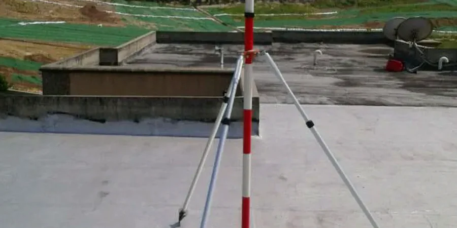
Inclinometer and tilt monitoring
In-place inclinometer strings installed behind soldier piles or within diaphragm walls. Continuous tilt profile, real-time deflection at each metre of depth.
Settlement and heave surveying
Precision levelling on settlement markers and building prisms. We establish a stable benchmark outside the zone of influence before works begin.
Pore pressure and groundwater monitoring
Vibrating wire piezometers in sand lenses and at the till-bedrock interface. Early warning of pressure buildup behind the wall.
Vibration and crack monitoring
Triaxial geophones and LVDT crack meters on heritage structures. Trigger levels set per BS 5228-2 and building condition survey baseline.
Questions and answers
How quickly can you mobilise a monitoring team in Carlow?
We keep equipment and personnel within a one-hour radius. For a standard excavation in the Carlow area, we can have inclinometers, survey prisms and piezometers installed and logging within three working days of instruction. Emergency callouts are faster.
What does a geotechnical excavation monitoring programme cost in Carlow?
Cost depends on depth, duration and instrument count. A typical 4-week programme for a single-basement excavation in Carlow town runs between €840 and €2,140, including installation, data hosting and a final interpretive report.
Do I need monitoring for a domestic basement extension in Carlow?
If the excavation is within 3 metres of a neighbouring wall or the property is older than 80 years, yes. The glacial till can relax quickly once exposed. A basic settlement and tilt monitoring setup gives you objective evidence that the work did not cause damage, which matters for insurance and neighbour relations.